Bismarck, North Dakota’s skyline looks a bit awkward. The only big building is the capitol (and personally, I think it’s a bit ugly—but I waited until I left the state to say so.) The town itself is a manageable small town of about 75000 people.
Garmin GPS seems to not know Bismarck very well. Several times I got a severe warning that I was going the wrong way down the street. They were quite obviously 2-way roads. It also could not find a few addresses that are on downtown streets that have been there since about 1872 when the city was founded. Not new streets, not new addresses. Google maps on the phone found them with no problem.
 There is an interesting alley downtown that has a series of murals depicting various aspects of North Dakota history. The surrounding area also has a liberal sprinkling of Native American sites. One such site (Chief Looking’s Village) sits on a hill above the Missouri River. I assumed the chief’s name was due to his picking the location of the village as a great lookout spot to keep an eye on approaching enemy—which it was. But no … he was given that name because he was keeping an eye out for his son who, against the wishes of his father the chief, ran off with the warring men of the tribe to prove his bravery. The chief kept a vigilant watch for his return—which never came. He then went to find his son, only to find his dead body—along with many other tribe members. Some interesting spiritual stuff happened and he became famous as Chief Looking.
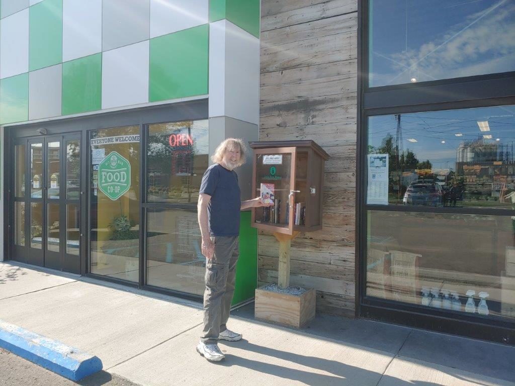
As we left Bismarck, we stopped at a health food store to restock on supplies. They had a Little Free Library outside, so I dropped off a copy of Whiz Tanner and the Vanishing Diamond.